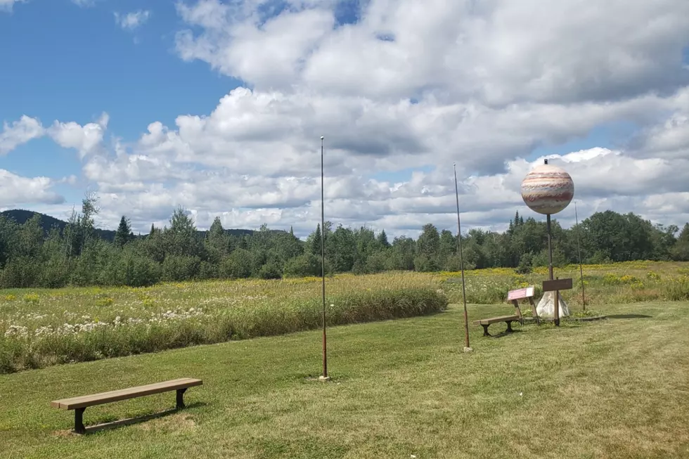
There’s a To Scale Model of the Solar System Along Route 1 in Aroostook County
If you've ever traveled along Route 1 between Presque Isle and Houlton Maine, you may have noticed what looks like planets along the highway. Your eyes aren't playing tricks on you. They are all part of a to scale model of our Solar System that was built in 2003.
The project was an effort by the people of Aroostook County as an educational tool and tourist attraction with the University of Maine at Presque Isle being its vocal point. Local students, teachers and residents contributed time, resources and land to create this amazing piece of educational artwork.
The sun and planets span a distance of 40 miles between Presque Isle and Houlton and everything is to scale, with one mile equal to one astronomical unit (AU) which is equal to the distance from Earth to the Sun.
This was a bucket list item for my girlfriend Michele, so we drove to the county and spent a night in a yurt, which you can read about here. The next day we set off to make a stop at each planet.
If you plan to make the trip yourself, each planet is actually searchable on Google Maps, which makes it a whole lot easier to find some of the smaller planets. Also, be careful pulling over to the side of the road to see some of these planets. Not all of them are in an area where you can park your car and traffic on Route 1 flies by at 55 mph. So put your hazzards on, pull as far to the right as you can, and watch for oncoming traffic when getting in and out of your vehicle.
You can learn more about how the planets were built and see old photos of them being put in place at the website below which also looks like it was built in 2003.

